下载App
资质规则
旅行
账户

Expat-Kate_Travelegy
1
Sapitwa Peak: Conquering Malawi’s Highest Point 🇲🇼⛰️
Mount Mulanje的点评
点评:Sapitwa Peak — Malawi 🇲🇼⛰️
There are hikes, and then there are expeditions.
Mulanje — meaning “many waters”, is a fitting name for this spectacular mountain massif, known for its streams, rivers, waterfalls and dramatic peaks.
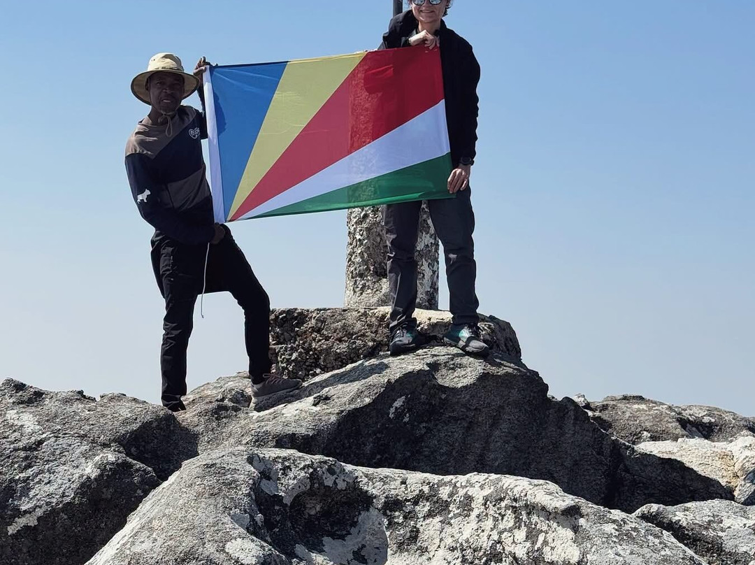
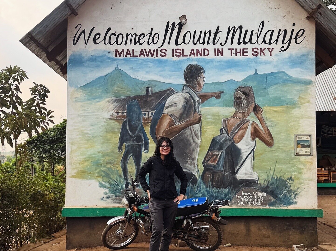
Rising to 3,002m above sea level, Sapitwa is the highest point in Malawi and the summit of the dramatic Mulanje Massif. Mount Mulanje isn’t simply one mountain, it’s a vast massif of rugged peaks, high plateaus, deep valleys and waterfalls.
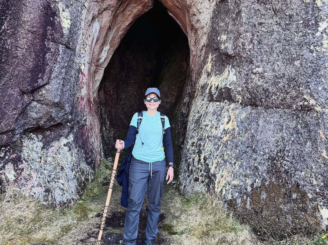
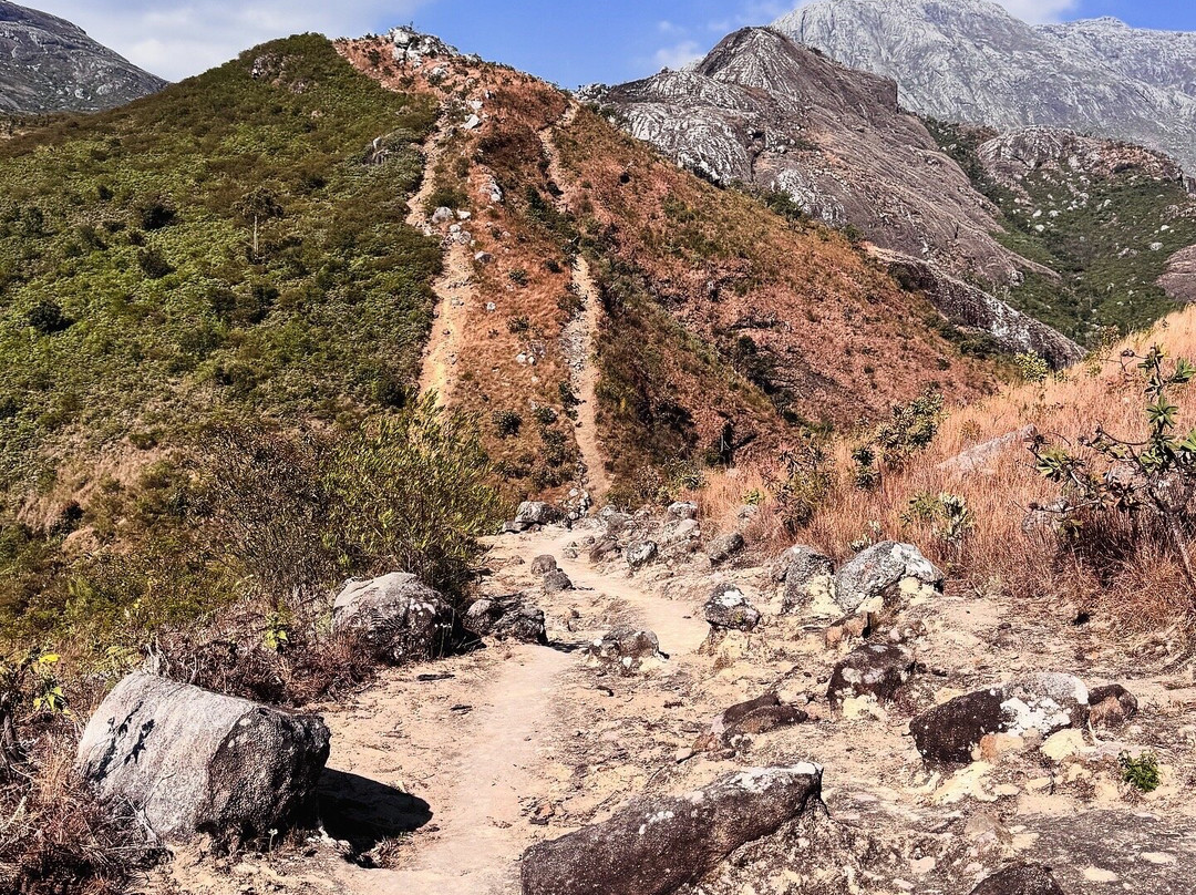
Our route took us up via the Skyline Trail and out via the Chapaluka Trail, passing through the rugged landscapes of the Mulanje Range and seeing many of the 36 peaks that make up this incredible massif.
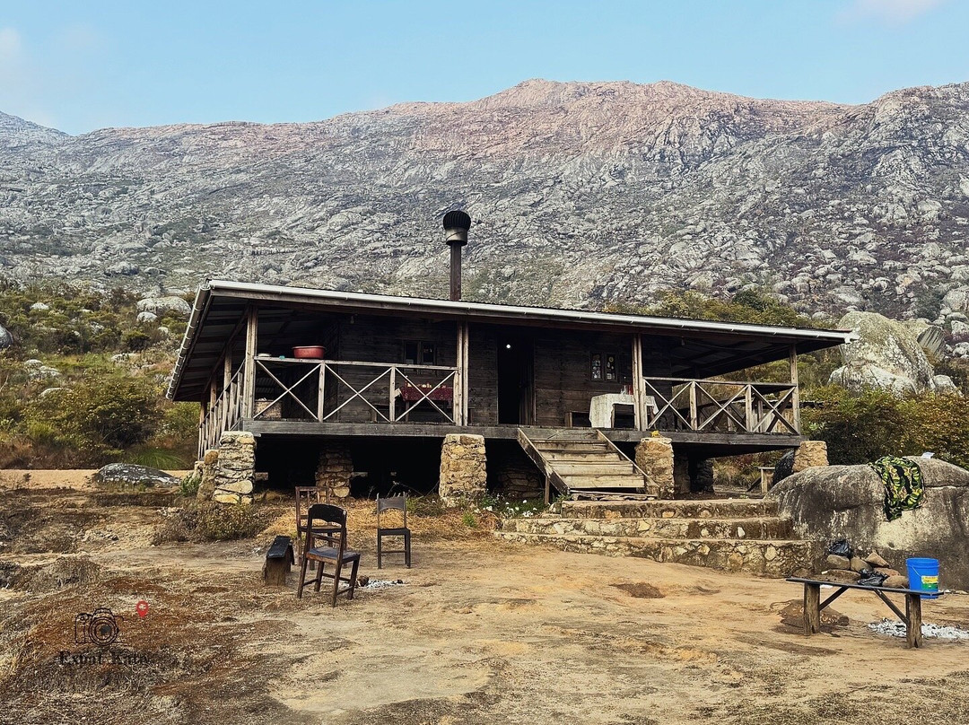
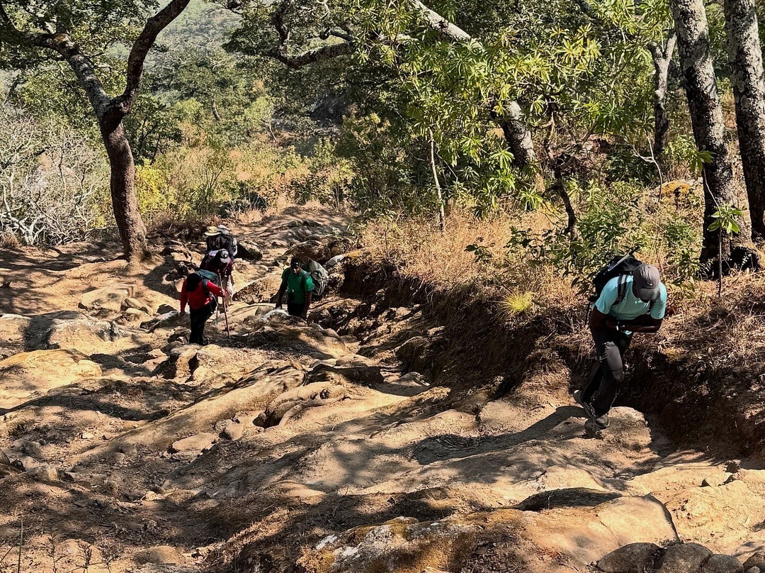
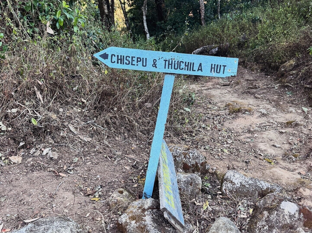
The Skyline is steep from the start. What makes this route so demanding? Elevation gain. In a single day, the route takes you through a whopping ~1,900 m of elevation gain as you reach Chisepu Hut nestled at 2,200m. That’s a serious amount of climbing packed into one day.
But Sapitwa is where things get serious.
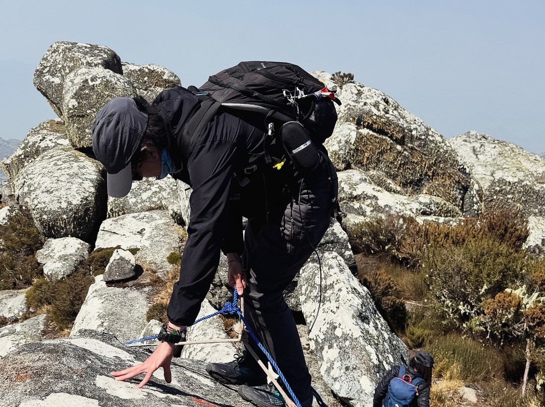
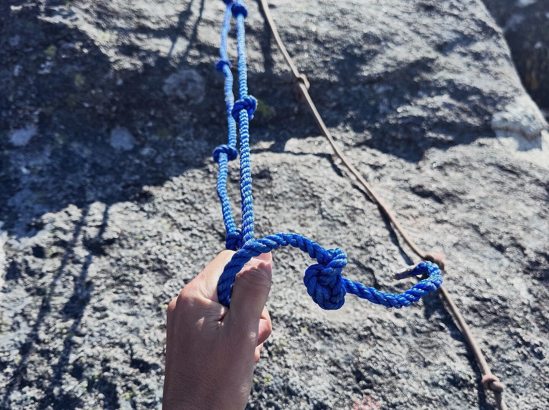
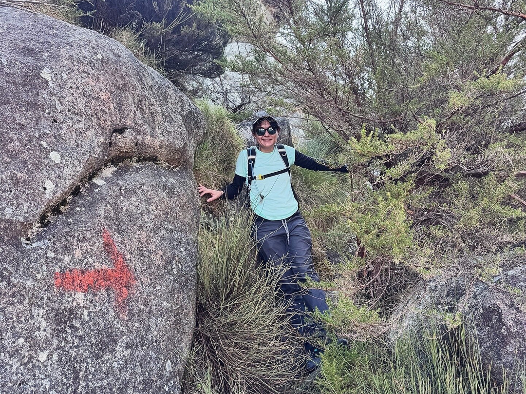
The summit approach involves a rapid 800m elevation gain, steep rock slabs, scrambling and sections where you’re using your hands as much as your feet. From Chisepu Hut, Sapitwa is a 5-6hour return climb, with the final section being particularly steep and very demanding.
And the reward?
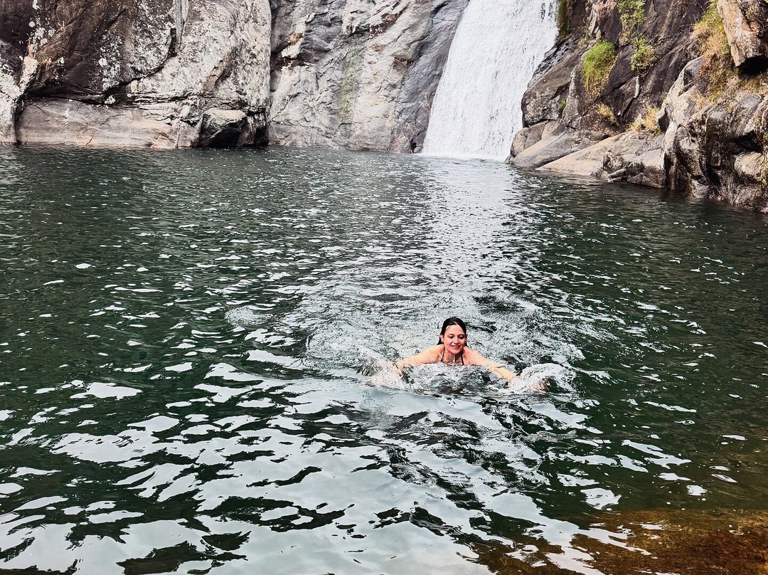
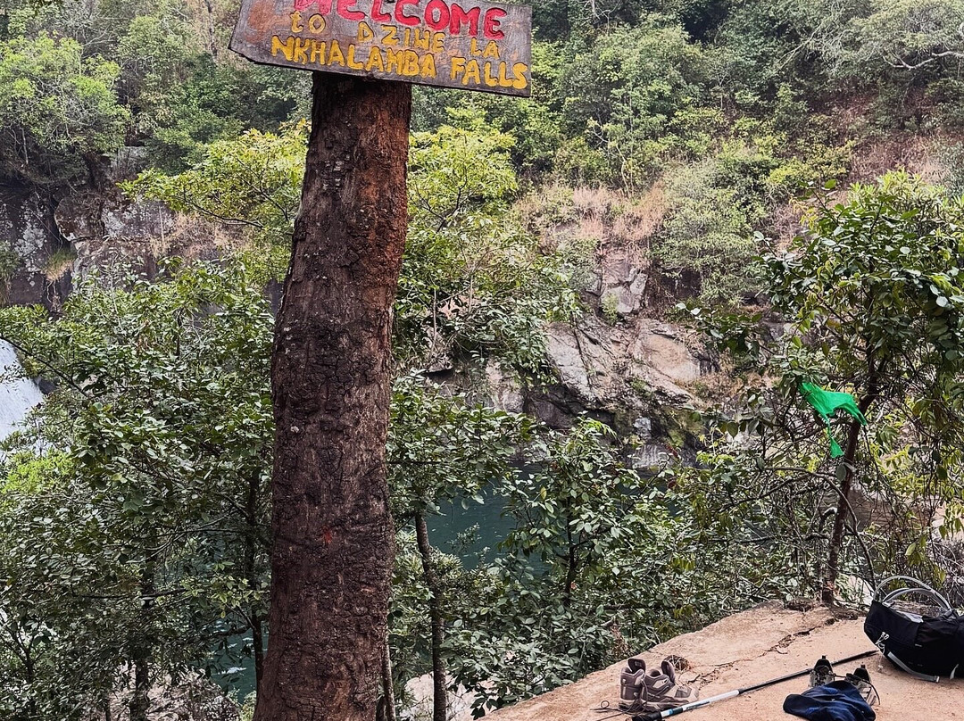
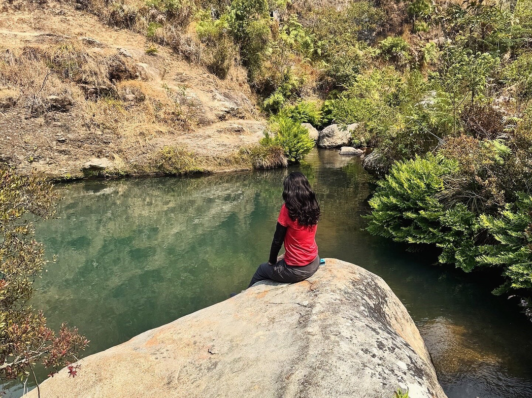
Descending via Chapaluka takes you through beautiful mountain scenery, streams and waterfalls before reaching Nkhalamba (Likhubula Falls), where the icy mountain water makes an unforgettable finale.
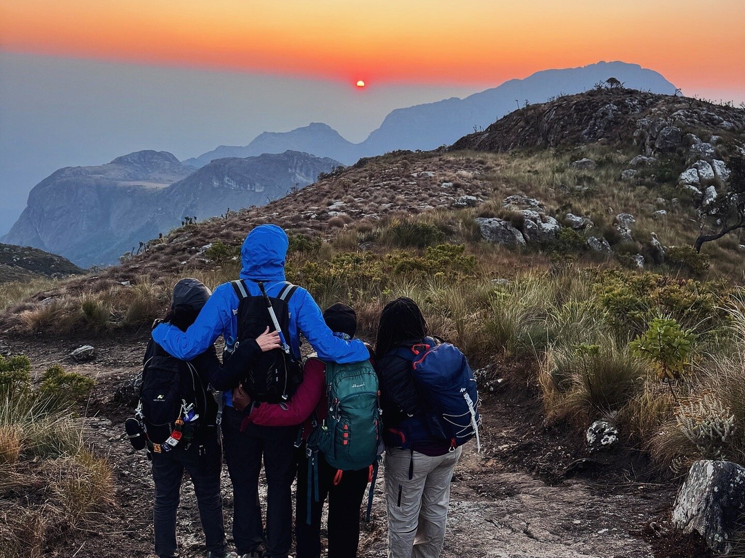
Along the way, you’re surrounded by the many peaks that make up the Mulanje Massif, a landscape that feels less like a single mountain and more like an entire mountain kingdom.
So while experienced, fit hikers can summit Sapitwa in a long day from the hut, this is not a casual day hike. For the full experience, allowing several days on the massif makes far more sense. You get time to acclimatise, explore the plateaus, and actually appreciate the mountain rather than simply racing to its highest point.
This one is an expedition, and Sapitwa makes you earn it.
There are hikes, and then there are expeditions.
Mulanje — meaning “many waters”, is a fitting name for this spectacular mountain massif, known for its streams, rivers, waterfalls and dramatic peaks.
Rising to 3,002m above sea level, Sapitwa is the highest point in Malawi and the summit of the dramatic Mulanje Massif. Mount Mulanje isn’t simply one mountain, it’s a vast massif of rugged peaks, high plateaus, deep valleys and waterfalls.
Our route took us up via the Skyline Trail and out via the Chapaluka Trail, passing through the rugged landscapes of the Mulanje Range and seeing many of the 36 peaks that make up this incredible massif.
The Skyline is steep from the start. What makes this route so demanding? Elevation gain. In a single day, the route takes you through a whopping ~1,900 m of elevation gain as you reach Chisepu Hut nestled at 2,200m. That’s a serious amount of climbing packed into one day.
But Sapitwa is where things get serious.
The summit approach involves a rapid 800m elevation gain, steep rock slabs, scrambling and sections where you’re using your hands as much as your feet. From Chisepu Hut, Sapitwa is a 5-6hour return climb, with the final section being particularly steep and very demanding.
And the reward?
Descending via Chapaluka takes you through beautiful mountain scenery, streams and waterfalls before reaching Nkhalamba (Likhubula Falls), where the icy mountain water makes an unforgettable finale.
Along the way, you’re surrounded by the many peaks that make up the Mulanje Massif, a landscape that feels less like a single mountain and more like an entire mountain kingdom.
So while experienced, fit hikers can summit Sapitwa in a long day from the hut, this is not a casual day hike. For the full experience, allowing several days on the massif makes far more sense. You get time to acclimatise, explore the plateaus, and actually appreciate the mountain rather than simply racing to its highest point.
This one is an expedition, and Sapitwa makes you earn it.
翻译:萨皮特瓦峰——马拉维 🇲🇼⛰️
有些只是徒步旅行,而有些则是真正的探险之旅。
“穆兰杰”意为“多水之地”,这个名字用来形容这片以溪流、河流、瀑布以及险峻山峰而闻名的壮丽山系再合适不过了。
萨皮特瓦峰海拔3,002米,是马拉维的最高点,也是雄伟的穆兰杰山系的顶峰。穆兰杰山并非单独一座山,而是一片由崎岖山峰、高耸高原、深谷与瀑布构成的庞大山地区域。我们的路线是:沿天际线小径上行,再从查帕卢卡小径下山。途中我们穿越了穆兰杰山脉崎岖的地形,也见到了构成这座壮丽山体的36座山峰中的许多座。
天际线小径从一开始就相当陡峭。是什么让这条路线如此具有挑战性呢?那就是海拔上升幅度极大。在一天之内,沿此路线攀登就能累积约1,900米的海拔提升;最终可抵达海拔2,200米的奇塞普小屋。一天之内要完成如此大量的爬升,实在是一项艰巨的任务。不过,萨皮特瓦山才是真正考验体力的地方。
攀登至山顶的过程需要迅速爬升800米的高度,沿途有陡峭的岩壁、需要手脚并用的攀爬路段。从奇塞普小屋出发,往返萨皮特瓦山需要5到6个小时,最后一段路程尤为陡峭且极具挑战性。
而回报是什么呢?
从查帕卢卡下山时,沿途可欣赏到迷人的山景、溪流与瀑布,最终抵达恩卡拉姆巴(即利库布拉瀑布)。冰冷的山泉水带来了令人难忘的完美收尾。
沿途,你会被构成姆兰杰山体的众多山峰所环绕,这里的地貌与其说是单一的一座山,倒更像是整个“山岳王国”。
因此,虽然经验丰富且体能出众的徒步者可以从山屋出发,在一天之内登顶萨皮特瓦峰,但这绝非一次轻松的日常远足。为了获得完整的体验,花上几天时间在山体上游览显然更为明智——这样你才有时间适应海拔,也能好好探索那些高原地带。实际上,我们应该欣赏这座山,而不只是急于抵达其最高点。
这是一次探险之旅,而萨皮特瓦峰则要求你付出努力才能登顶。
有些只是徒步旅行,而有些则是真正的探险之旅。
“穆兰杰”意为“多水之地”,这个名字用来形容这片以溪流、河流、瀑布以及险峻山峰而闻名的壮丽山系再合适不过了。
萨皮特瓦峰海拔3,002米,是马拉维的最高点,也是雄伟的穆兰杰山系的顶峰。穆兰杰山并非单独一座山,而是一片由崎岖山峰、高耸高原、深谷与瀑布构成的庞大山地区域。我们的路线是:沿天际线小径上行,再从查帕卢卡小径下山。途中我们穿越了穆兰杰山脉崎岖的地形,也见到了构成这座壮丽山体的36座山峰中的许多座。
天际线小径从一开始就相当陡峭。是什么让这条路线如此具有挑战性呢?那就是海拔上升幅度极大。在一天之内,沿此路线攀登就能累积约1,900米的海拔提升;最终可抵达海拔2,200米的奇塞普小屋。一天之内要完成如此大量的爬升,实在是一项艰巨的任务。不过,萨皮特瓦山才是真正考验体力的地方。
攀登至山顶的过程需要迅速爬升800米的高度,沿途有陡峭的岩壁、需要手脚并用的攀爬路段。从奇塞普小屋出发,往返萨皮特瓦山需要5到6个小时,最后一段路程尤为陡峭且极具挑战性。
而回报是什么呢?
从查帕卢卡下山时,沿途可欣赏到迷人的山景、溪流与瀑布,最终抵达恩卡拉姆巴(即利库布拉瀑布)。冰冷的山泉水带来了令人难忘的完美收尾。
沿途,你会被构成姆兰杰山体的众多山峰所环绕,这里的地貌与其说是单一的一座山,倒更像是整个“山岳王国”。
因此,虽然经验丰富且体能出众的徒步者可以从山屋出发,在一天之内登顶萨皮特瓦峰,但这绝非一次轻松的日常远足。为了获得完整的体验,花上几天时间在山体上游览显然更为明智——这样你才有时间适应海拔,也能好好探索那些高原地带。实际上,我们应该欣赏这座山,而不只是急于抵达其最高点。
这是一次探险之旅,而萨皮特瓦峰则要求你付出努力才能登顶。

© 2026 Tripadvisor 版权所有。
部分照片由 VFM Leonardo 提供。
TripAdvisor公司对外部网站的内容一概不负责。优惠价格中不含税和其他费用。
ICP证:沪B2-20200433
沪ICP备20013175号
 沪公网安备31010502005427号
鹰程信息技术(上海)有限公司