下载App
资质规则
旅行
账户

Tripadvisor用户
Nice view on the lonely mountain
Sherkala Mountain的点评
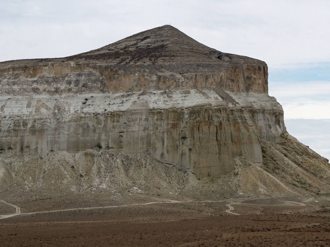
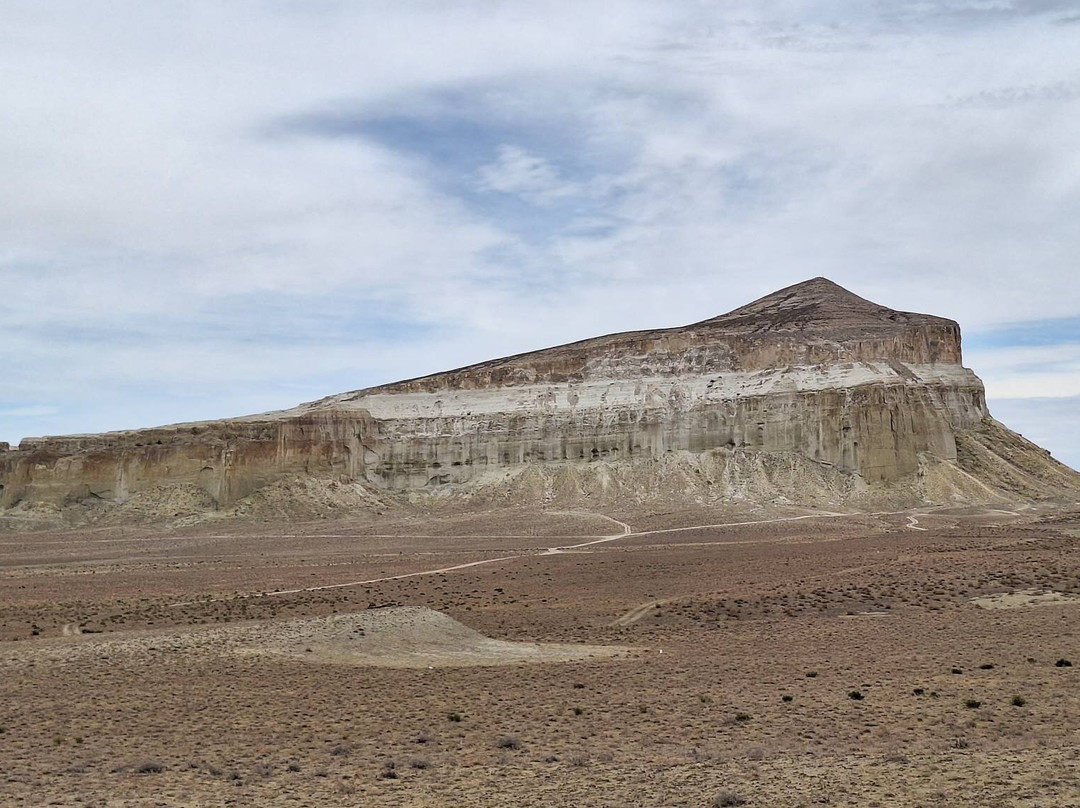
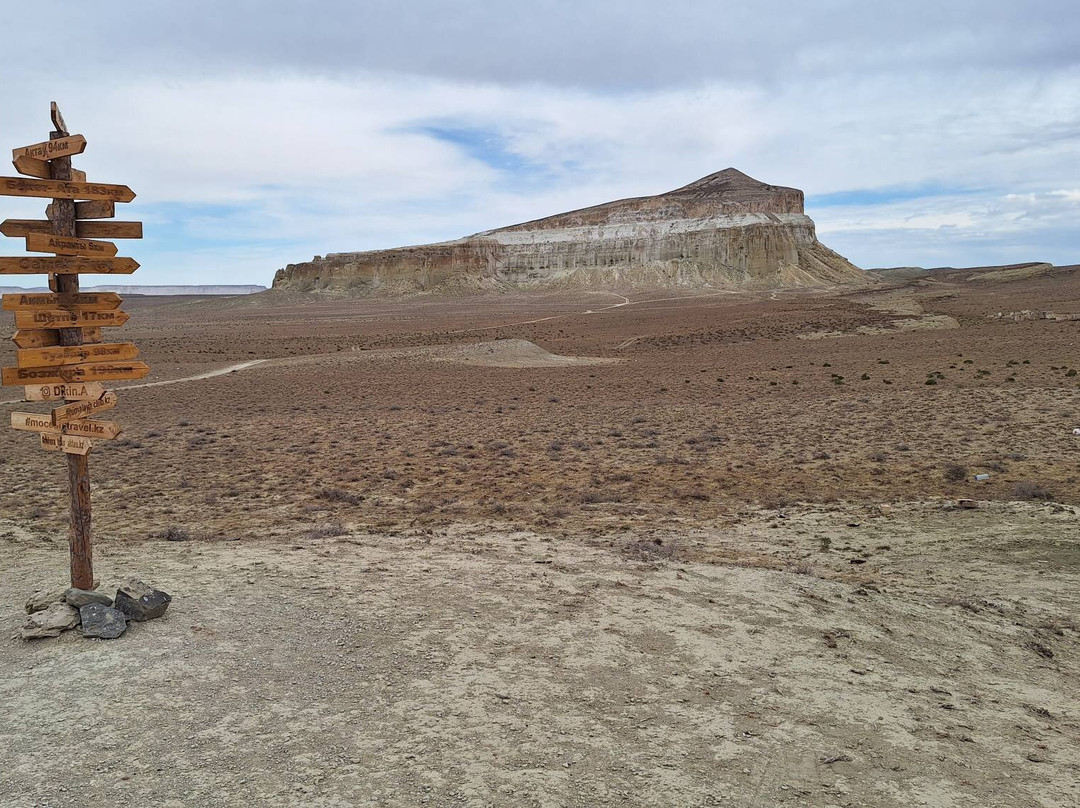
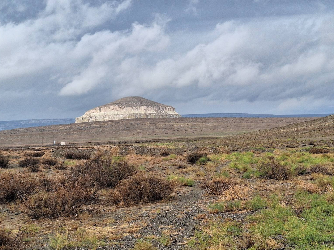
点评:We visited a viewpoint overlooking Sherkala on the first day of our 5-day Mangistau tour.
From Aktau, we first visited Shakpak-Ate, and after lunch, we went to Torysh Valley (Valley of Balls) (44.321766, 51.594589). Afterward, we drove on dirt roads north of the Western Karatau to a viewpoint (44.258583, 51.988476) with a view of Mount Sherkala.
The view of the mountain in a plain was beautiful. The same mountain from the other side resembles a yurt. We saw this only from the road on our way (44.2273, 52.0007) to Shetpe.
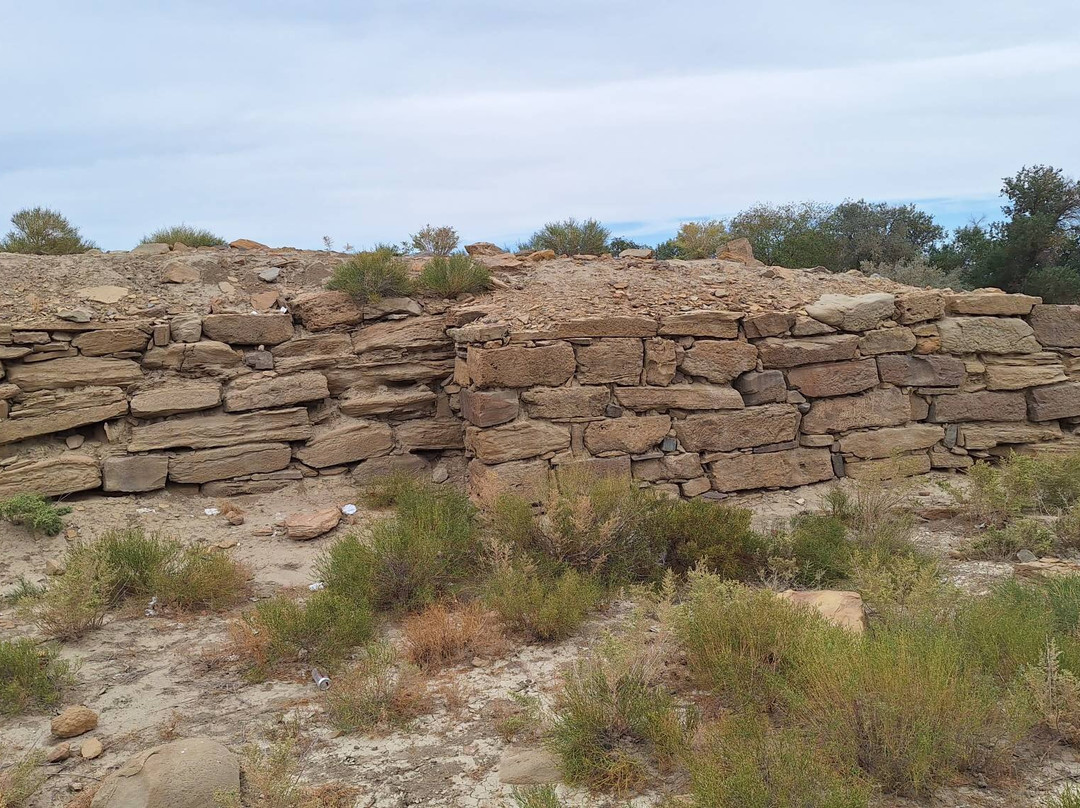
Near this viewpoint, we visited the faint foundations of the ancient settlement Kyzyl Kala (44.246784, 51.988037), actually better visible via satellite images, and took a short walk further to the Akmysh Valley oasis (44.248672, 51.988319). Both were not very interesting.
We stayed for two nights in a yurt at Ethno Aul Kogez (44.227882, 52.056419).
From Aktau, we first visited Shakpak-Ate, and after lunch, we went to Torysh Valley (Valley of Balls) (44.321766, 51.594589). Afterward, we drove on dirt roads north of the Western Karatau to a viewpoint (44.258583, 51.988476) with a view of Mount Sherkala.
The view of the mountain in a plain was beautiful. The same mountain from the other side resembles a yurt. We saw this only from the road on our way (44.2273, 52.0007) to Shetpe.
Near this viewpoint, we visited the faint foundations of the ancient settlement Kyzyl Kala (44.246784, 51.988037), actually better visible via satellite images, and took a short walk further to the Akmysh Valley oasis (44.248672, 51.988319). Both were not very interesting.
We stayed for two nights in a yurt at Ethno Aul Kogez (44.227882, 52.056419).
翻译:在为期 5 天的曼吉斯托之旅的第一天,我们参观了俯瞰 Sherkala 的观景台。
从阿克套出发,我们首先参观了Shakpak-Ate,午餐后,我们前往Torysh Valley(球谷)(44.321766,51.594589)。随后,我们沿着西卡拉托以北的土路行驶,到达一个观景点(44.258583, 51.988476),可以欣赏谢尔卡拉山的景色。
平原上的山景很美。同一座山从另一边看就像一个蒙古包。我们仅在前往谢特佩的路上(44.2273, 52.0007)看到了这一点。
在这个视点附近,我们参观了古代定居点克孜勒卡拉 (Kyzyl Kala) (44.246784, 51.988037) 的微弱地基,实际上通过卫星图像可以更清楚地看到,并进一步步行一小段距离到达阿克梅什山谷绿洲 (44.248672, 51.988319)。两者都不是很有趣。
我们在 Ethno Aul Kogez (44.227882, 52.056419) 的蒙古包里住了两晚。
从阿克套出发,我们首先参观了Shakpak-Ate,午餐后,我们前往Torysh Valley(球谷)(44.321766,51.594589)。随后,我们沿着西卡拉托以北的土路行驶,到达一个观景点(44.258583, 51.988476),可以欣赏谢尔卡拉山的景色。
平原上的山景很美。同一座山从另一边看就像一个蒙古包。我们仅在前往谢特佩的路上(44.2273, 52.0007)看到了这一点。
在这个视点附近,我们参观了古代定居点克孜勒卡拉 (Kyzyl Kala) (44.246784, 51.988037) 的微弱地基,实际上通过卫星图像可以更清楚地看到,并进一步步行一小段距离到达阿克梅什山谷绿洲 (44.248672, 51.988319)。两者都不是很有趣。
我们在 Ethno Aul Kogez (44.227882, 52.056419) 的蒙古包里住了两晚。

© 2026 Tripadvisor 版权所有。
部分照片由 VFM Leonardo 提供。
TripAdvisor公司对外部网站的内容一概不负责。优惠价格中不含税和其他费用。
ICP证:沪B2-20200433
沪ICP备20013175号
 沪公网安备31010502005427号
鹰程信息技术(上海)有限公司